


Reflection Pool Journal

Designed and sold by Jason Tompkins
$24.35
$20.70 when you buy any 2+
$20.70 when you buy any 2+
$24.35
 Super-easy returnsProblem? No problem. We’ll fix it, fast.
View size guideFind your fit
Product features
- 128 pages
- 90gsm paper stock
- Wrap around hardback cover
- Fully printed design on the front and back
- Available in a selection of ruled, graph or blank pages
- Since every item is made just for you by your local third-party fulfiller, there may be slight variances in the product received

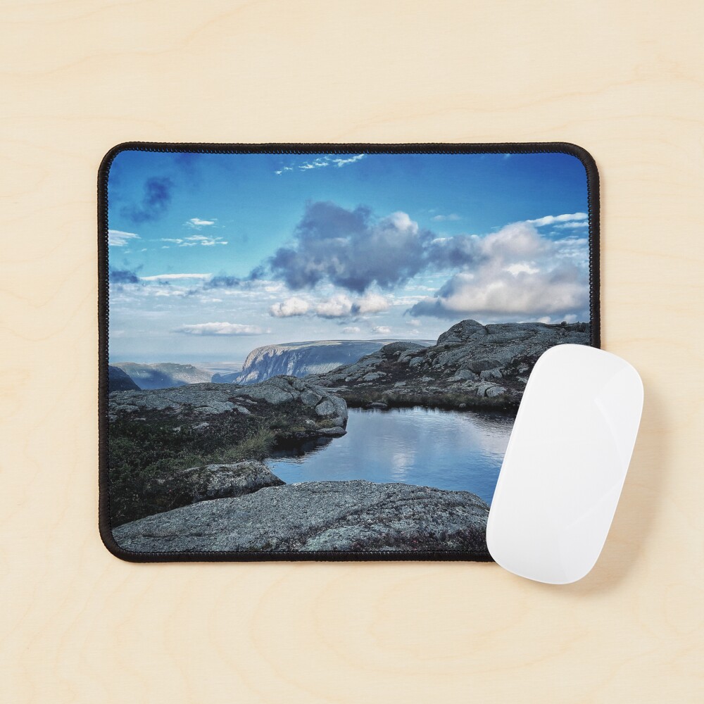
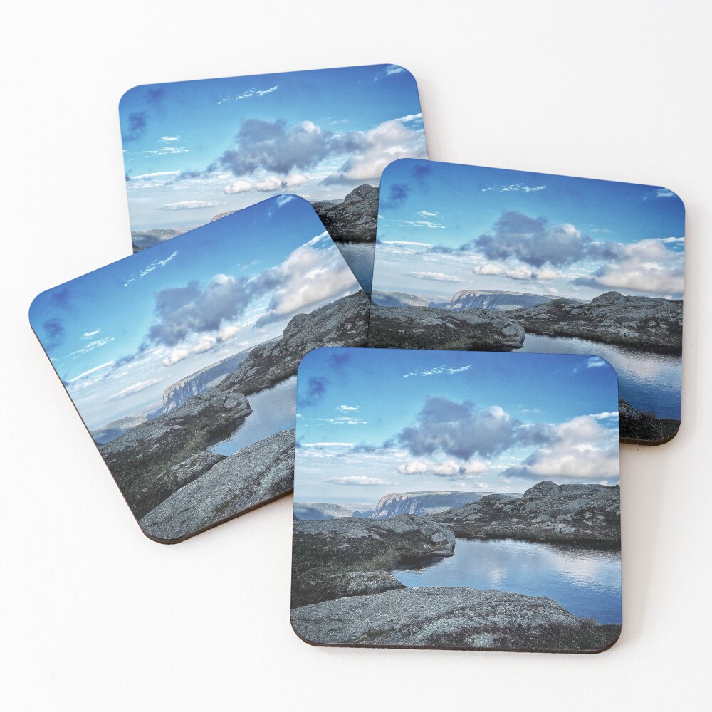
Reflection Pool
Gros Morne National Park is a Canadian national park and World Heritage Site located on the west coast of Newfoundland. At 1,805 km2 (697 sq mi), it is the second largest national park in Atlantic Canada after Torngat Mountains National Park, which has an area of 9,700 km2 (3,700 sq mi).
The park takes its name from Newfoundland's second-highest mountain peak (at 806 m or 2,644 ft) located within the park. Its French meaning is "large mountain standing alone," or more literally "great sombre." Gros Morne is a member of the Long Range Mountains, an outlying range of the Appalachian Mountains, stretching the length of the island's west coast. It is the eroded remnants of a mountain range formed 1.2 billion years ago. In 1987, the park was awarded World Heritage Site status by UNESCO because "The park provides a rare example of the process of continental drift, where deep ocean crust and the rocks of the earth's mantle lie exposed."
The Gros Morne National Park Reserve was established in 1973, and was made a national park on October 1, 2005.
The park was the subject of a short film in 2011's National Parks Project.
Geology
The park's rock formations, made famous by Robert Stevens and Harold Williams, include oceanic crust and mantle rock exposed by the obduction process of plate tectonics, as well as sedimentary rock formed during the Ordovician, Precambrian granite and Palaeozoic igneous rocks.
The park is located in the Great Northern Peninsula of Western Newfoundland. This peninsula is referred to as the Humber Zone, a Miogeocline, the Highlands of which contain the largest external basement massif of the Grenville Orogeny in the Appalachian Orogen. This Precambrian basement is known as the Long Range Inlier, Long Range Complex or Basement Gneiss Complex, consisting of quartz–feldspar gneisses and granites that are up to 1550 Ma in age. Mt. Gros Morne and Mt. Big Level lie within this Inlier. The western boundary of this inlier (along Western Brook Pond, St. Pauls Inlet, and south of Portl Creek Pond) consists of Devonian and Ordovician thrust faults, where crystalline rocks thrust over Cambrian–Ordovician carbonate rocks and the Lower Paleozoic Humber Arm Allochthon. The Rocky Harbour mélange is a Lower–Middle Ordovician collection of greywacke, quartzite, dolomite shale, chert, limestone blocks within a black, green, and red scaly shale matrix, which occurs along the shore from West Brook Pond to Humber Arm (Bay of Islands). The south portion of the park, Table Mtn. (Tablelands) and North Arm Mtn., consists of Upper Cambrian and Lower Ordovician ophiolites known as the Bay of Islands Complex, Little Post Complex, and Old Man Cove Formation. Finally, a Pleistocene ice cap flowed radially across the island, developing fjords such as Bonne Bay.
Also available on







Looking for something different?
Search below.Related Tags
Hardcover Journals Tags
This section provides a collection of tags that relate to the Hardcover Journal on this page. These tags each link to a search for the Hardcover Journals that relate to the tag.
All Product Tags
This section provides a collection of tags that each link to a search for any products that relate to the tag.
Trending topics
This section provides a collection of tags that each link to a search for any products that relate to the tag.
Secure Payments
100% Secure Payment with 256-bit SSL encryption


