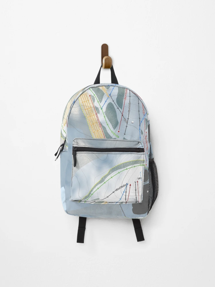

Powder Ridge MN Resort Trail Map Backpack

Designed and sold by Mapsynergy
$40.79
20% off ends soon
$40.79
 Super-easy returnsProblem? No problem. We’ll fix it, fast.
View size guideFind your fit
- Carry your stuff, express yourself, keep your hands free, it's win-win-win
- Bag measures 17.7 x 11.8 x 4.9in / 45 x 30 x 12.5 cm
- Most standard laptops fit in the internal laptop pocket, which measures 13.5" x 10.5" / 34 x 27 cm
- Durable 100% polyester shell
- Vivid all-over design, sublimation printed for you when you order
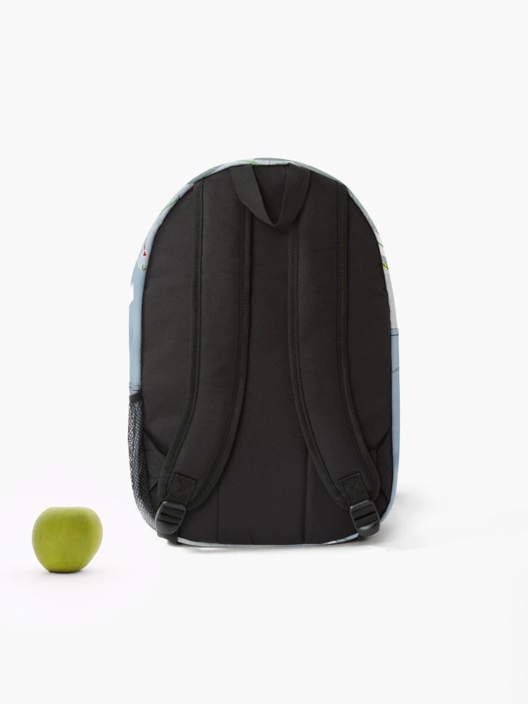
- External mesh pocket and adjustable padded straps
- For a different style, check out the Drawstring Bag
- For more space, try the Duffle Bag
- Since every item is made just for you by your local third-party fulfiller, there may be slight variances in the product received
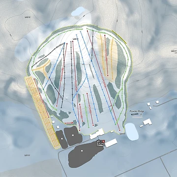
Powder Ridge MN Resort Trail Map
See Powder Ridge Resort in a whole new way. You are looking at the most accurate and technical Ski Trail Map out there. Updated regularly to ensure the most up to date information with the highest level of detail. Don’t settle for the free resort provided artist rendition trail map or an app that uses an inaccurate map. Get an accurate Ski Map from Mapsynergy.
Included features-
Ski Lifts with name, seating capacity, speed, mid-station load points and loading direction. Resort patrolled boundaries with separate tree areas and open slope along with tree types surrounding the resort. Resort named runs with fall line direction and difficulty by Green, Blue and Black. We use an intuitive new run rating display showing difficulty by single and double lines instead of single and double circle, square, diamond symbols. When available avalanche gate access points are included for advanced skiers/riders.
Terrain parks, slow skiing areas, snow cat service area, closed terrain and cliff areas. Amenities include marked locations for food, ski school, restrooms, ticket sales, bus/shuttle service and first aid/ski patrol. Enhanced base area information includes resort entrances, parking areas, named lodging locations for both on and off resort property and any additional notable services.
Most importantly elevation characteristics like our unique HD elevation texture. This texture shows elevation by shading better than a traditional hillshade. The higher the elevation the lighter the shade. Enjoy topo lines on top of map as well with 40' or better intervals and peak/spot elevations.
When available we overlay proposed resort improvements including future lifts, runs and expanded terrain areas. Everything is backed up with actual proposal site plans from released master plans.
Visit us at skimap.com or mapsynergy.com.
This map is not affiliated with the resort in any way. All Trademarks are the property of their respective owners.
Also available on


Looking for something different?
Search below.Related Tags
Backpacks Tags
This section provides a collection of tags that relate to the Backpack on this page. These tags each link to a search for the Backpacks that relate to the tag.
All Product Tags
This section provides a collection of tags that each link to a search for any products that relate to the tag.
Trending topics
This section provides a collection of tags that each link to a search for any products that relate to the tag.
Secure Payments
100% Secure Payment with 256-bit SSL encryption